![]()
![]()
|
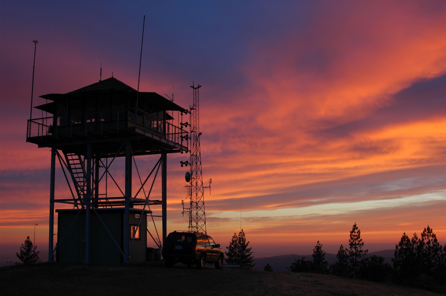
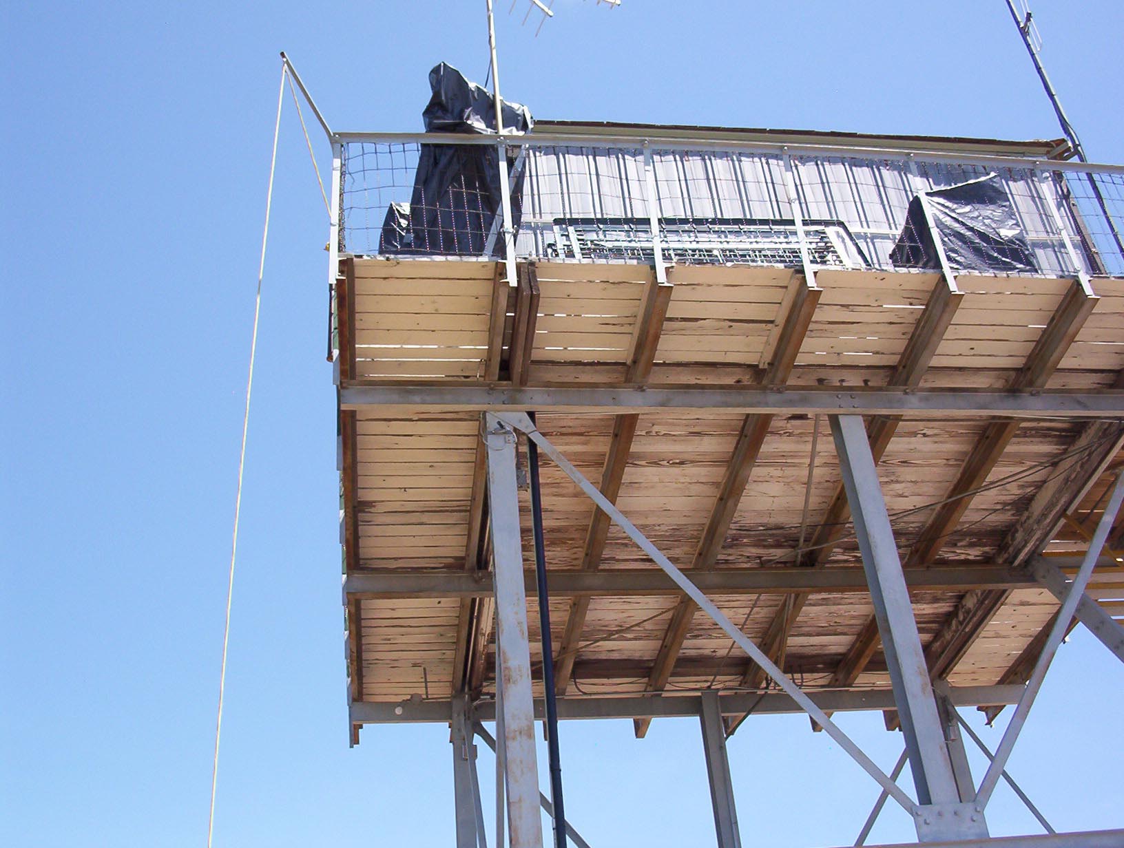
These are additional photos of maintenance repairs of the tower and building below over the years. There are many photos, so we have placed only so many on the pages so they will load faster. Enjoy! |
![]()
|
|
|
|
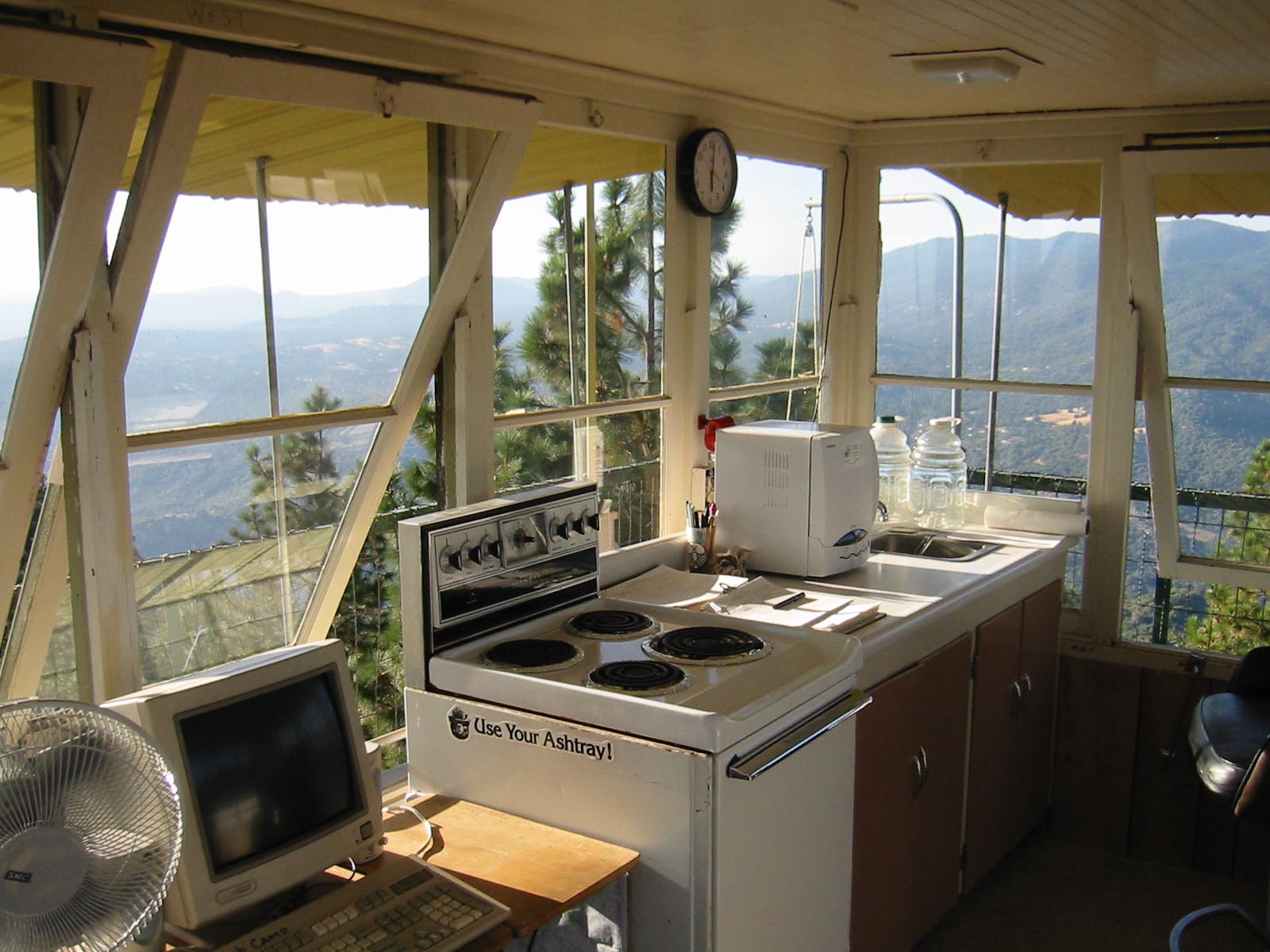
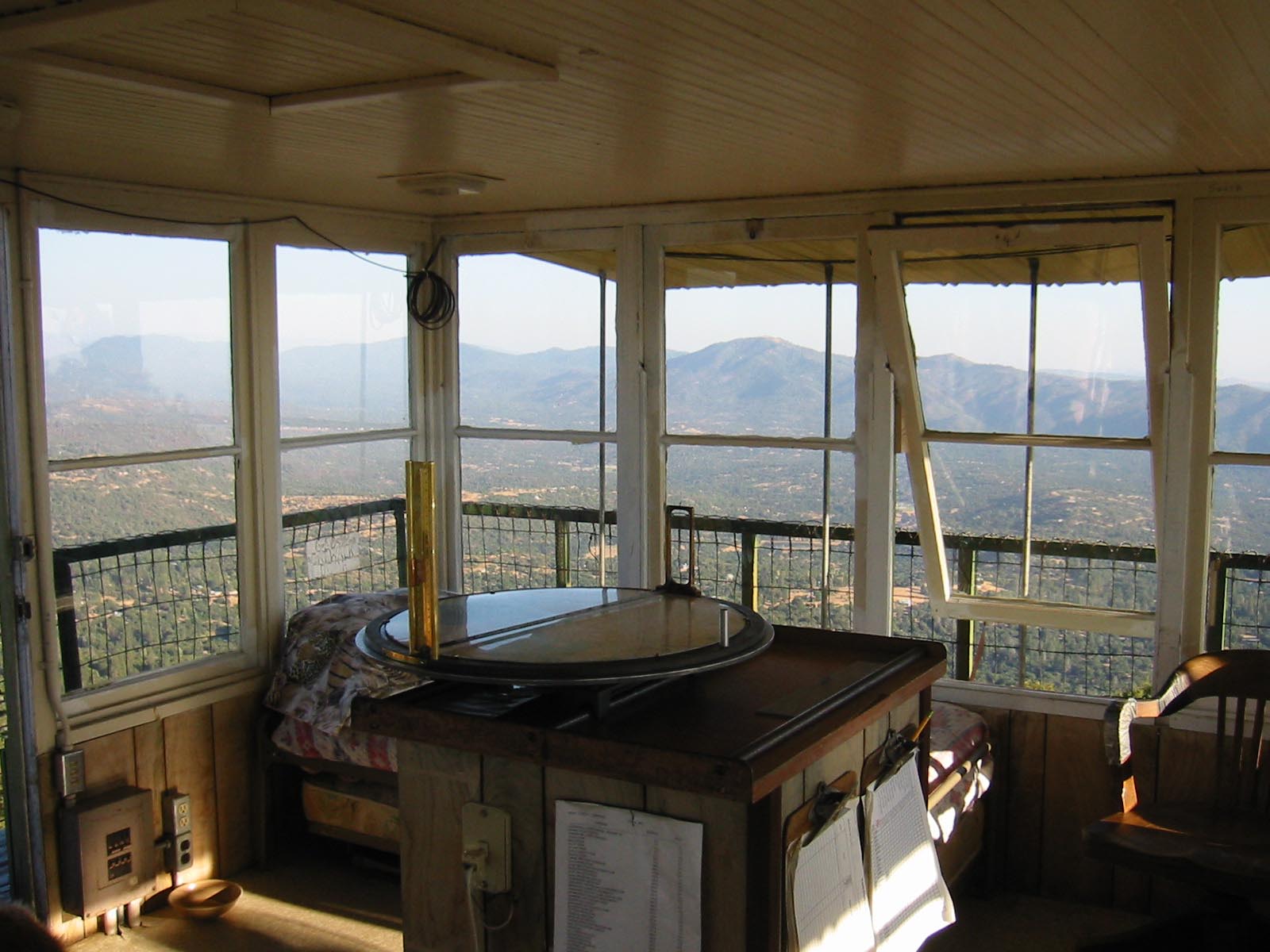
September 1, 2001, photos of the interior of the tower and center table with Osborn Fire Finder. |
||
|

|
|
|
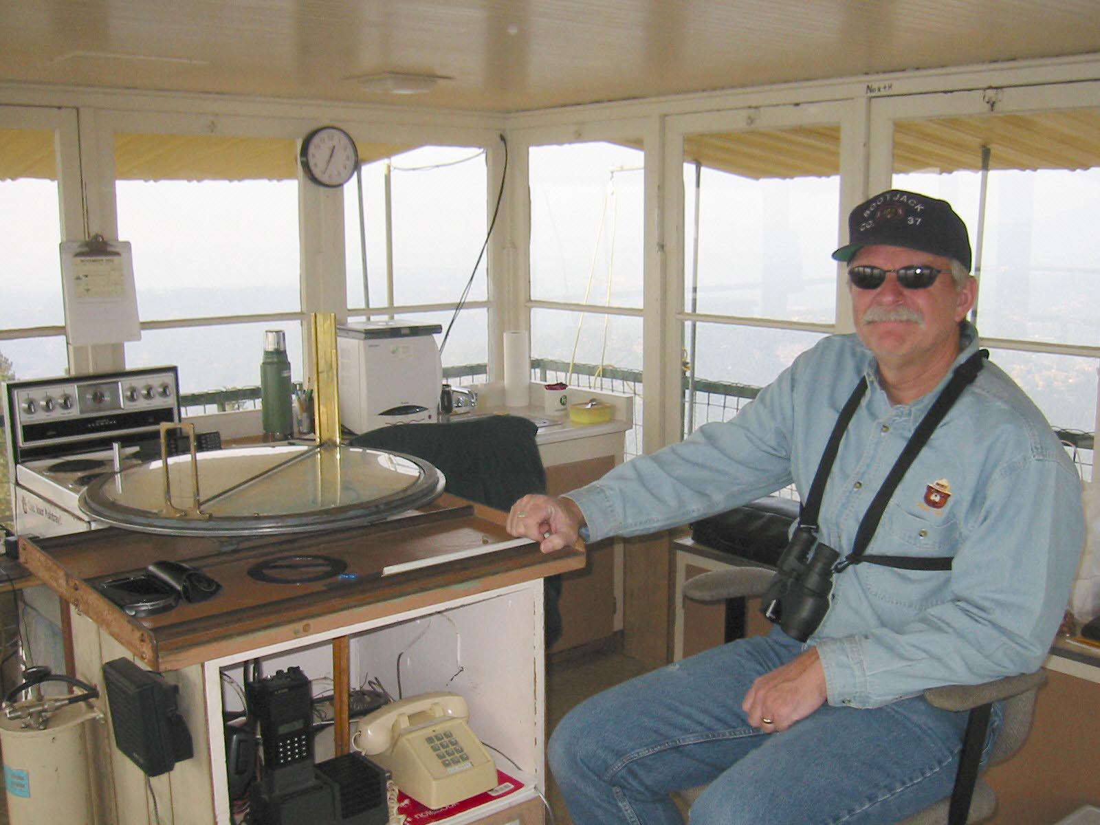
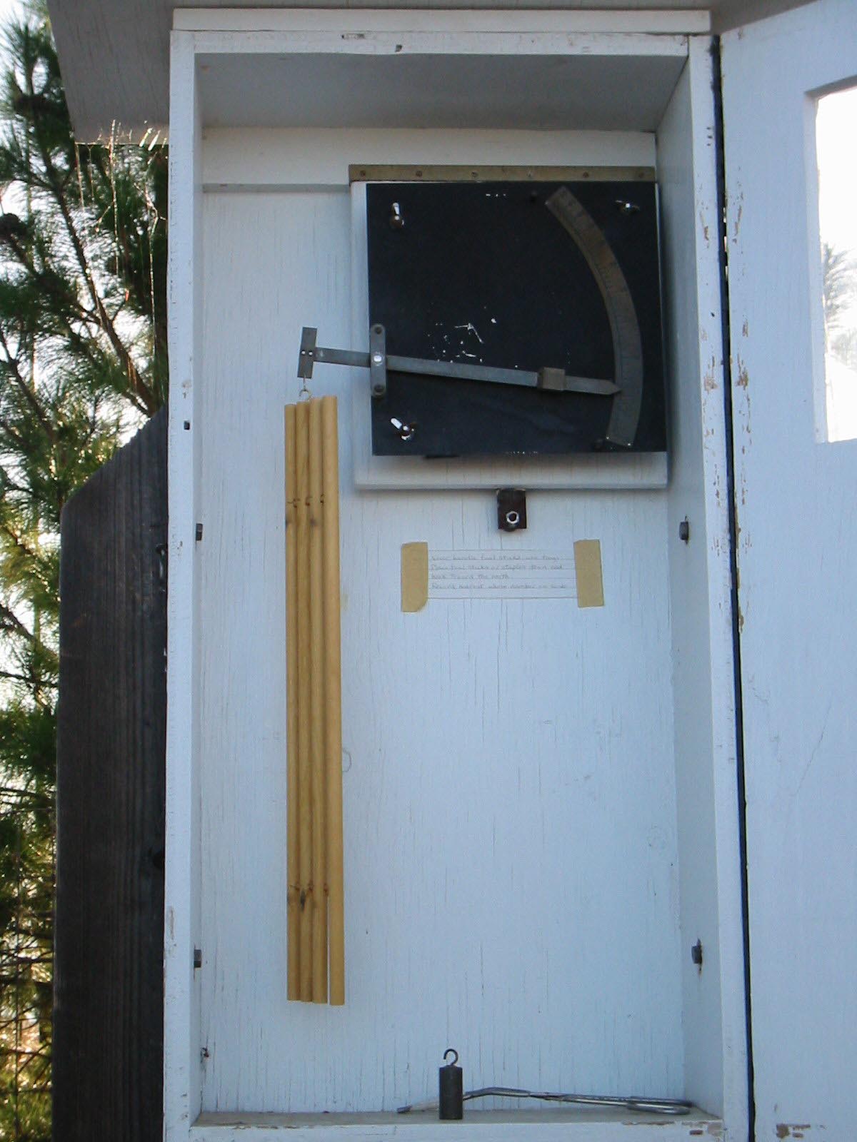
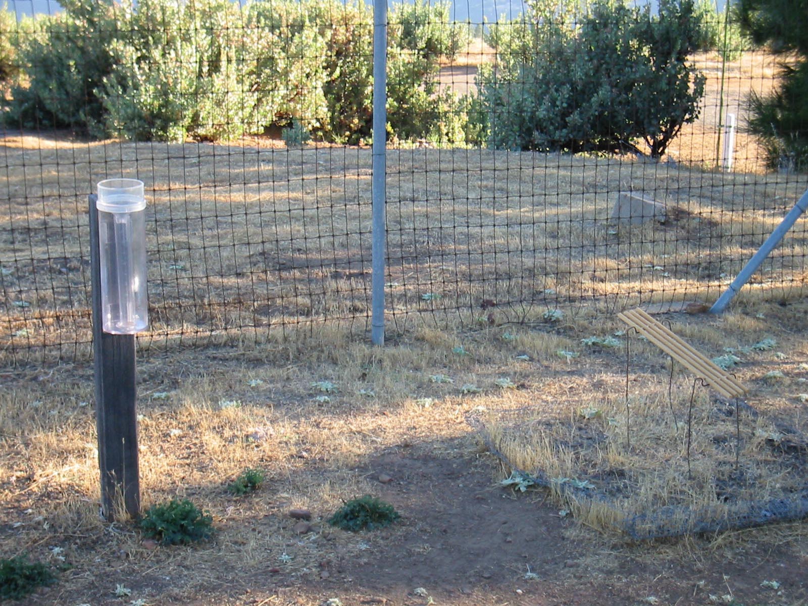
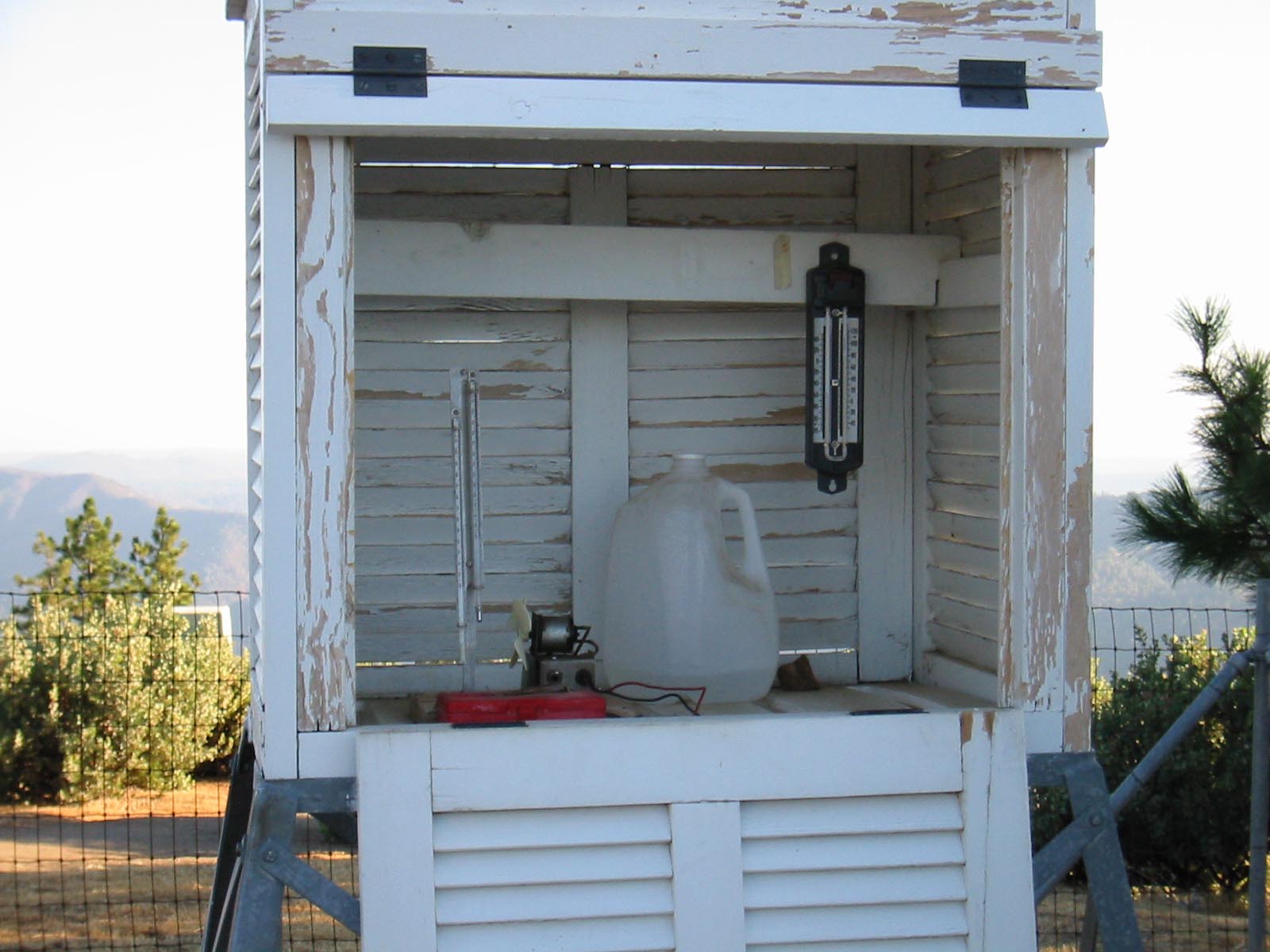
June 5, 2002, Osborn Fire Finder and lookout working, old weather station before it was replaced. |
||
|
|
|
|
June 5, 2002, old weather station before it was replaced and newly repaired stair risers and paint. |
||
|
|

|
|
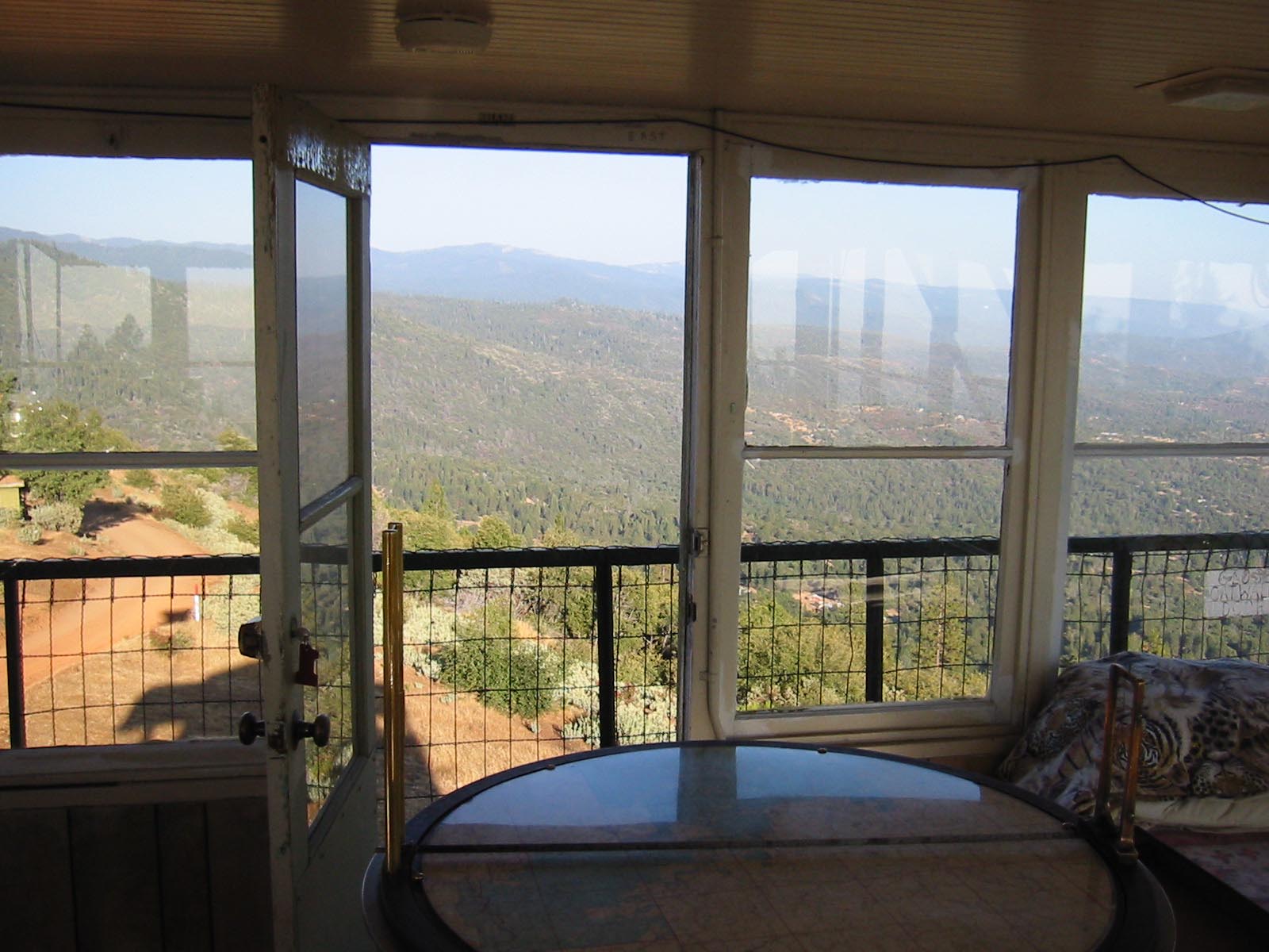
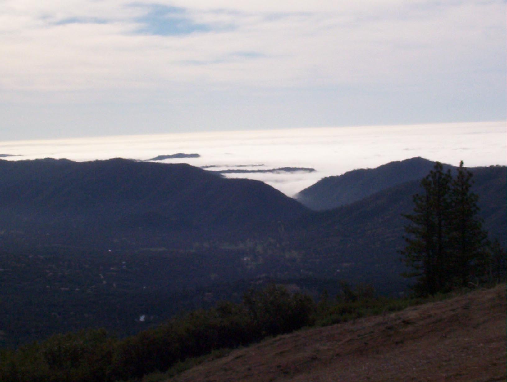
February 2, 2004, view of the central valley covered in fog and view of tower from outhouse. |
||

|

|
|
|
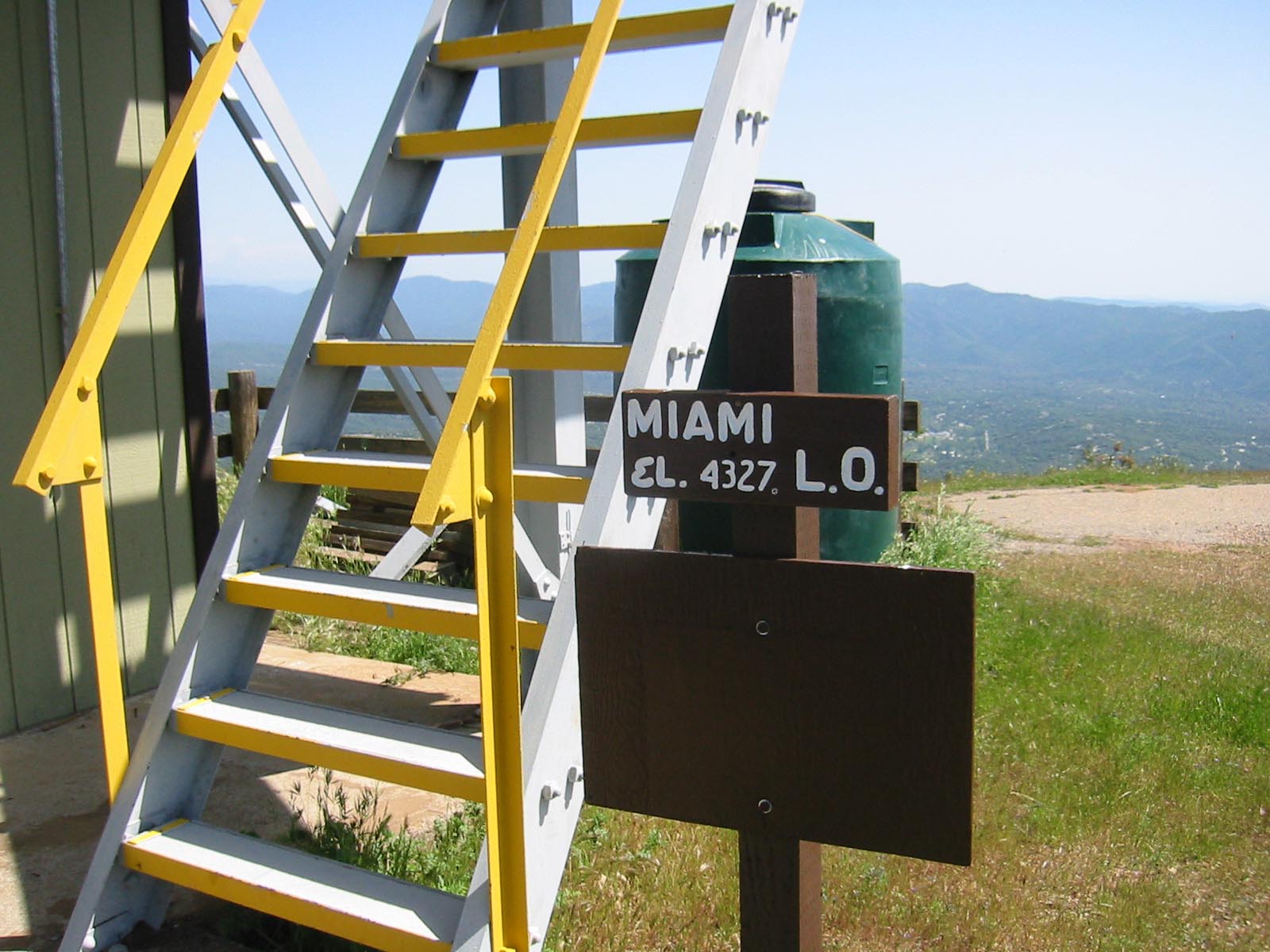
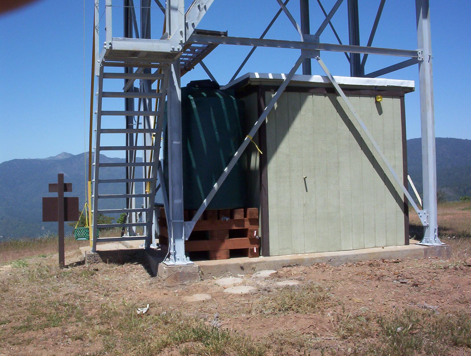
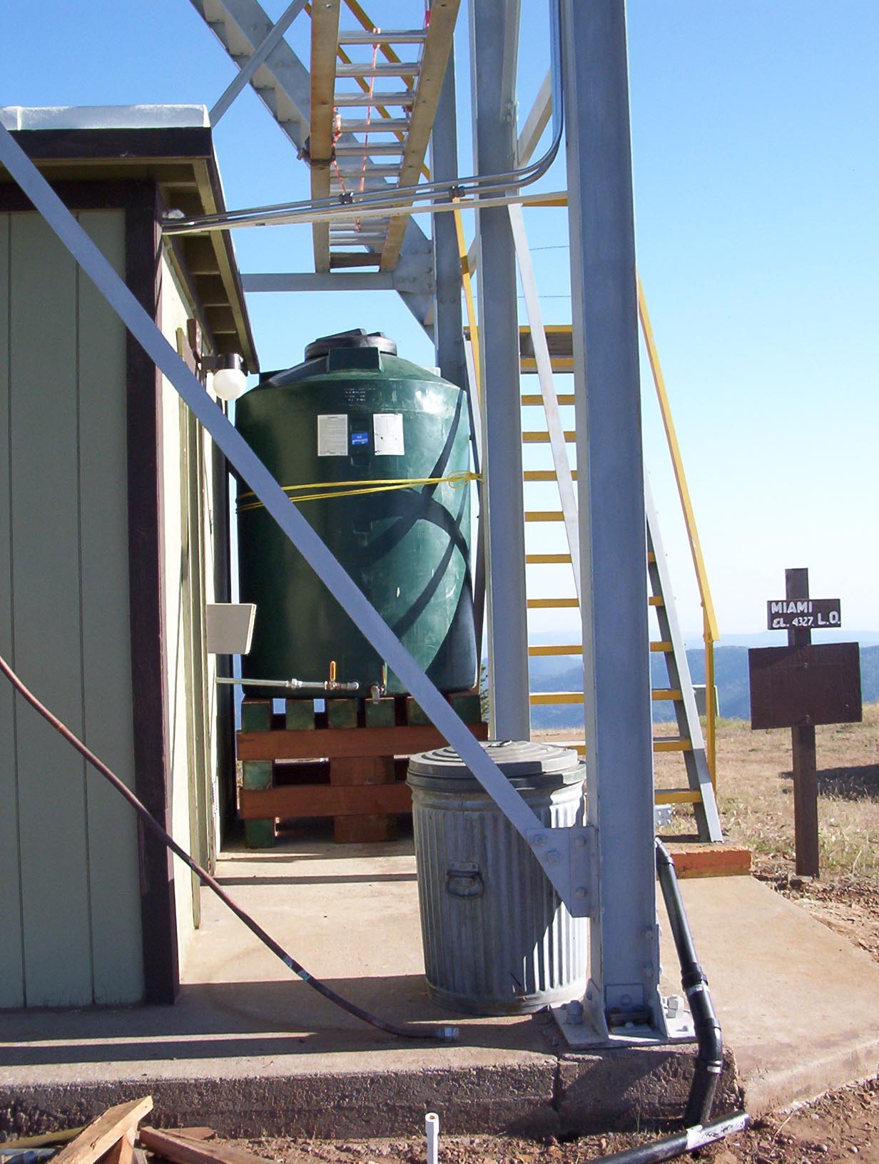
May 2, 2004, tower with new water storage tank installed. |
||
|
|
|
|
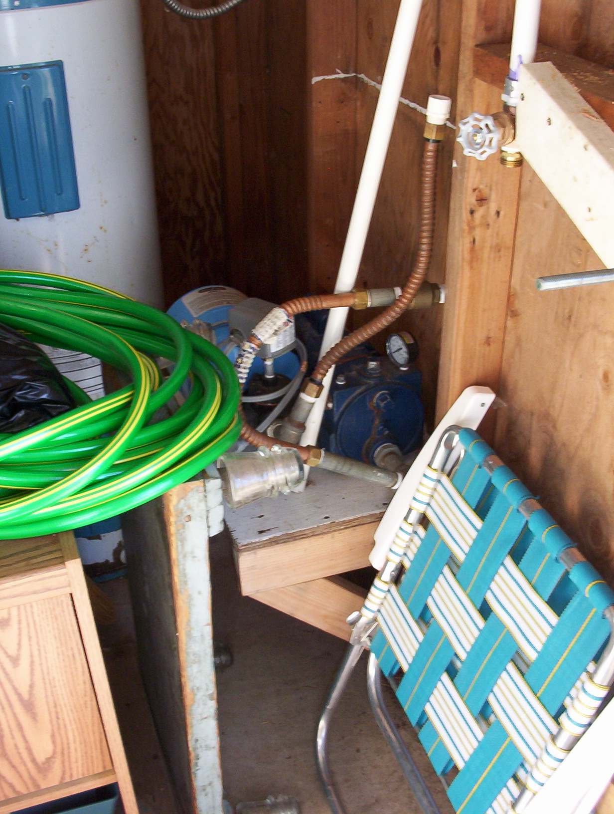
May 2, 2004, tower water tank outside and pump area inside of tower storage building. |
||
|
Continue to next page of photos for more photos of the tower. |
||
![]()
![]()
| These are private web pages and are not maintained by any governmental agency, all representations are for educational and informational purposes only! See Disclaimer and Legal Stuff for more details. |
1995 Miami Mountain Volunteer Fire Lookouts
fire-lookouts.org
All Rights Reserved